File:World Map (C8).png
From Archaelund Wiki
.png)
.png&action=edit&redlink=1)
.png&action=edit)
.png&action=history)
No higher resolution available.
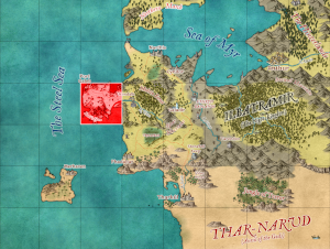
World_Map_(C8).png (300 × 226 pixels, file size: 157 KB, MIME type: image/png)
File history
Click on a date/time to view the file as it appeared at that time.
| Date/Time | Thumbnail | Dimensions | User | Comment | |
|---|---|---|---|---|---|
| current | 15:55, 24 January 2024 | | 300 × 226 (157 KB) | MikeB (talk | contribs) |
You cannot overwrite this file.
File usage
The following 17 pages use this file:
- Devil's Horn (Lower Section)
- Devil's Horn (Upper Section)
- Galeb Peninsula - Central Area
- Galeb Peninsula - Daggerbend
- Galeb Peninsula - Dead Valley
- Galeb Peninsula - Eastern Beach
- Galeb Peninsula - Galeb's Bluffs
- Galeb Peninsula - Mountain Path
- Galeb Peninsula - Port Galeb
- Galeb Peninsula - Red Axe Canyon
- Galeb Peninsula - Urendale Road East
- Galeb Peninsula - Urendale Road West
- Galeb Peninsula - Western Beach
- Nessera Caves
- Port Galeb Crypt
- Redaxe Tomb
- Sea Cave
.png&oldid=915)
.png)
.png)
.png&oldid=915)
.png&action=info)