File:World Map (D7).png
From Archaelund Wiki
.png)
.png&action=edit&redlink=1)
.png&action=edit)
.png&action=history)
No higher resolution available.
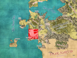
World_Map_(D7).png (300 × 227 pixels, file size: 154 KB, MIME type: image/png)
File history
Click on a date/time to view the file as it appeared at that time.
| Date/Time | Thumbnail | Dimensions | User | Comment | |
|---|---|---|---|---|---|
| current | 13:38, 27 April 2025 | | 300 × 227 (154 KB) | MikeB (talk | contribs) |
You cannot overwrite this file.
File usage
The following 14 pages use this file:
- Hall of Justice
- Harlin Plains - Central Area
- Harlin Plains - Foothills
- Harlin Plains - Irampor
- Harlin Plains - Nedolen of Chaggara
- Harlin Plains - Phadabar
- Harlin Plains - Phadabar Outskirts
- Harlin Plains - Tharkûl Road
- Harlin Plains - Urendale Road North
- Harlin Plains - Urendale Road South
- Harlin Plains - Western Beach
- Imperial Manor
- Shark Grotto
- The Blue House
.png&oldid=5476)
.png)
.png)
.png&oldid=5476)
.png&action=info)