File:World Map (D8).png
From Archaelund Wiki
.png)
.png&action=edit&redlink=1)
.png&action=edit)
.png&action=history)
No higher resolution available.
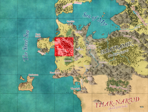
World_Map_(D8).png (300 × 227 pixels, file size: 154 KB, MIME type: image/png)
File history
Click on a date/time to view the file as it appeared at that time.
| Date/Time | Thumbnail | Dimensions | User | Comment | |
|---|---|---|---|---|---|
| current | 12:31, 29 November 2024 | | 300 × 227 (154 KB) | MikeB (talk | contribs) |
You cannot overwrite this file.
File usage
The following 13 pages use this file:
- Emerrand Fort
- Urendale Region - Abandoned Settlement
- Urendale Region - Emerrand Fortress
- Urendale Region - Lower Medrin Forest
- Urendale Region - Narthis Road
- Urendale Region - Northern Medrin Forest
- Urendale Region - Phadabar Road North
- Urendale Region - Phadabar Road South
- Urendale Region - Port Galeb Road
- Urendale Region - Quarry
- Urendale Region - Southern Medrin Forest
- Urendale Region - Upper Medrin Forest
- Urendale Region - Urendale
.png&oldid=1848)
.png)
.png)
.png&oldid=1848)
.png&action=info)